100-2000kHz PRR PM-1500 Airborne LiDAR System For Topographic Mapping
Topographical Mapping Windows CE Modern Design Total Station
HESAI Pandar 20B Topographic Mapping UAV LiDAR System
24LB 28LB Coated Bond CAD Plotter Paper Roll For Printing Colored Topographic Map
Industrial Qualtrics Survey Tool , High Speed Running Free Mapping Software
DJI Zenmuse L2 lidar M350 RTK with integrated lidar and mapping camera for emergency response/topographic mapping
Outdoor Waterproof 3D Projection Mapping Software Interactive Wall Projector
Hi-target Reflectorless 600m Total Stations for Topographical Mapping
UAV LiDAR Scanning System Geosun GS-100C+ Livox Avia Topographic Surveying And Mapping Solution
SW-6000 China Ophthalmic equipment Corneal Topography/Corneal Topographer
All Maps Web Based GPS Vehicle Tracking System Software Support Multi Language
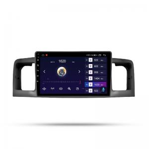
Android 12.0 WIFI Touch Screen Car Navigation For Toyota Corolla 2007 With Radio Goggle Map
Web Vehicle GPS Tracking Software Windows 2008 For Fleet Easy Management
Ecm Titanium V1.61 18475 Driver Automotive Diagnostic Software New Version For Cars / Trucks
Android 4.2.2 Android GPS Navigation Box for JVC Unit , Free Map and Software Upgrade
40-45KM UHF 1.3G/1.4GHz Mapping Drones/VTOL Video links With Easy Configuration Via Software
Mini Otdr Machine With OPM OLS VFL RJ45 Cable / Event Map For SM 1310nm1550nm
Hi target Underwater Topographic surveying instrument HD-Max Echo depth sounders
Industrial Aircraft UAV Drone MdLiDAR1000UHR For Surveillance Mapping Inspection