Related Products
Fair Trading Service
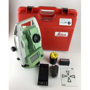
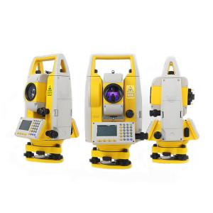
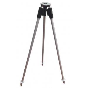
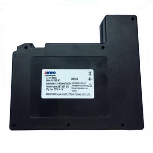
1 - 20 Results for land surveying software from 928 Products