Honeywell CC-PAOX01 51405039-275 GI/IS Analog Output Non-Redundant
Industrial Qualtrics Survey Tool , High Speed Running Free Mapping Software
10km Portable Briefcase UAV GIS Map Data UAV Detector with DJI Mavic Air Mini FPV Avata Series
GNSS RTK Measuring GPS GIS Collectors CHCNAV Controller P9V For FOIF Stonex
Garment and Shoes Pattern Scanner CD Digitizer Various CAD Software Support 40KG Weight
Forestry 3D Mapping HESAI XT32 Senor UAV LiDAR GS-260X Colored Point Cloud Free Pre-Processing software High Accuracy
Outdoor Waterproof 3D Projection Mapping Software Interactive Wall Projector
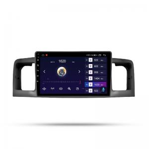
Android 12.0 WIFI Touch Screen Car Navigation For Toyota Corolla 2007 With Radio Goggle Map
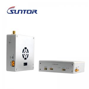
30KM Very Larger Range UAV Video Data Link Mavlink 1080P for Mapping Drone
Web Vehicle GPS Tracking Software Windows 2008 For Fleet Easy Management
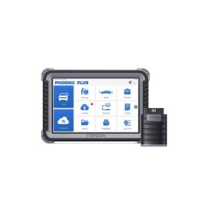
THINKCAR Thinkdiag Full-System OBD2 TOPDON Phoenix Plus Integrated Bi-Directional Diagnostic Tool Topology Mapping ECU Coding (incl. Diagnostic Tool Multi-Brand Coverage 1-Year Free Software Updates
Data Collector China Brand GIS with Software
ARS-200 Drone LiDAR Mapping System 2.5kg UAV Topographic Survey
All Maps Web Based GPS Vehicle Tracking System Software Support Multi Language
Ecm Titanium V1.61 18475 Driver Automotive Diagnostic Software New Version For Cars / Trucks
20CM Accuracy Network RTK Portable GPS with HI-Q GIS Collection Software
40-45KM UHF 1.3G/1.4GHz Mapping Drones/VTOL Video links With Easy Configuration Via Software