Related Products
Fair Trading Service
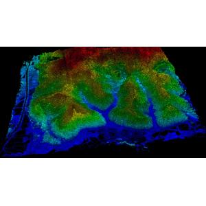
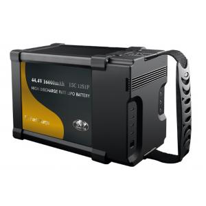
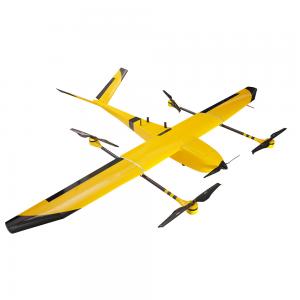
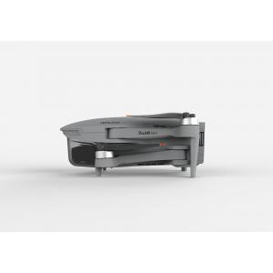
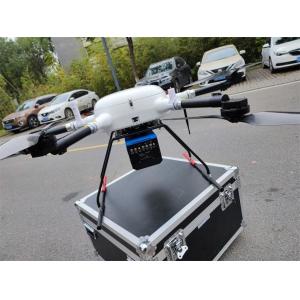
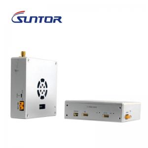
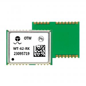
1 - 20 Results for uav survey from 243 Products